AREA INFORMATION
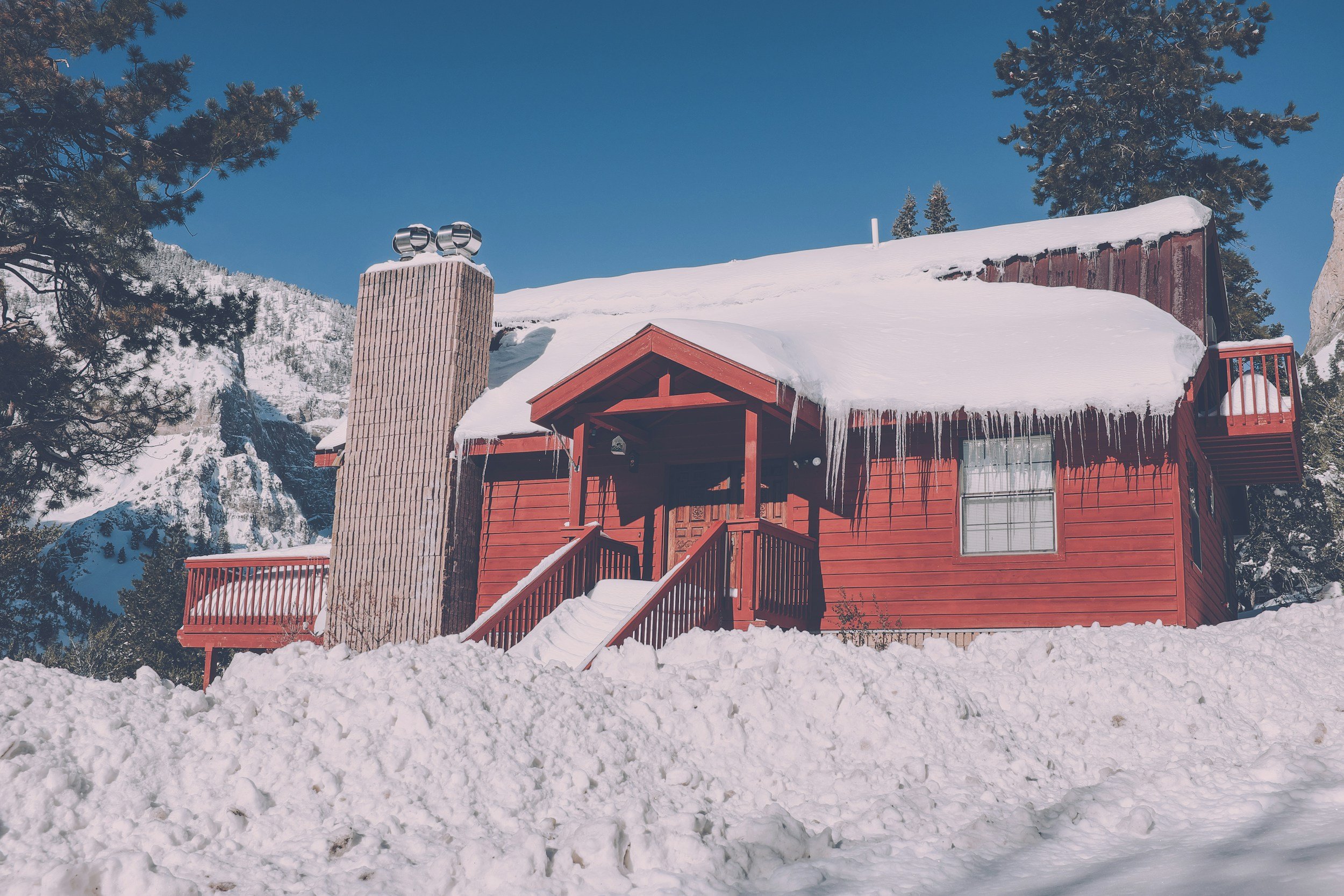
WELCOME TO
MOUNT CHARLESTON!
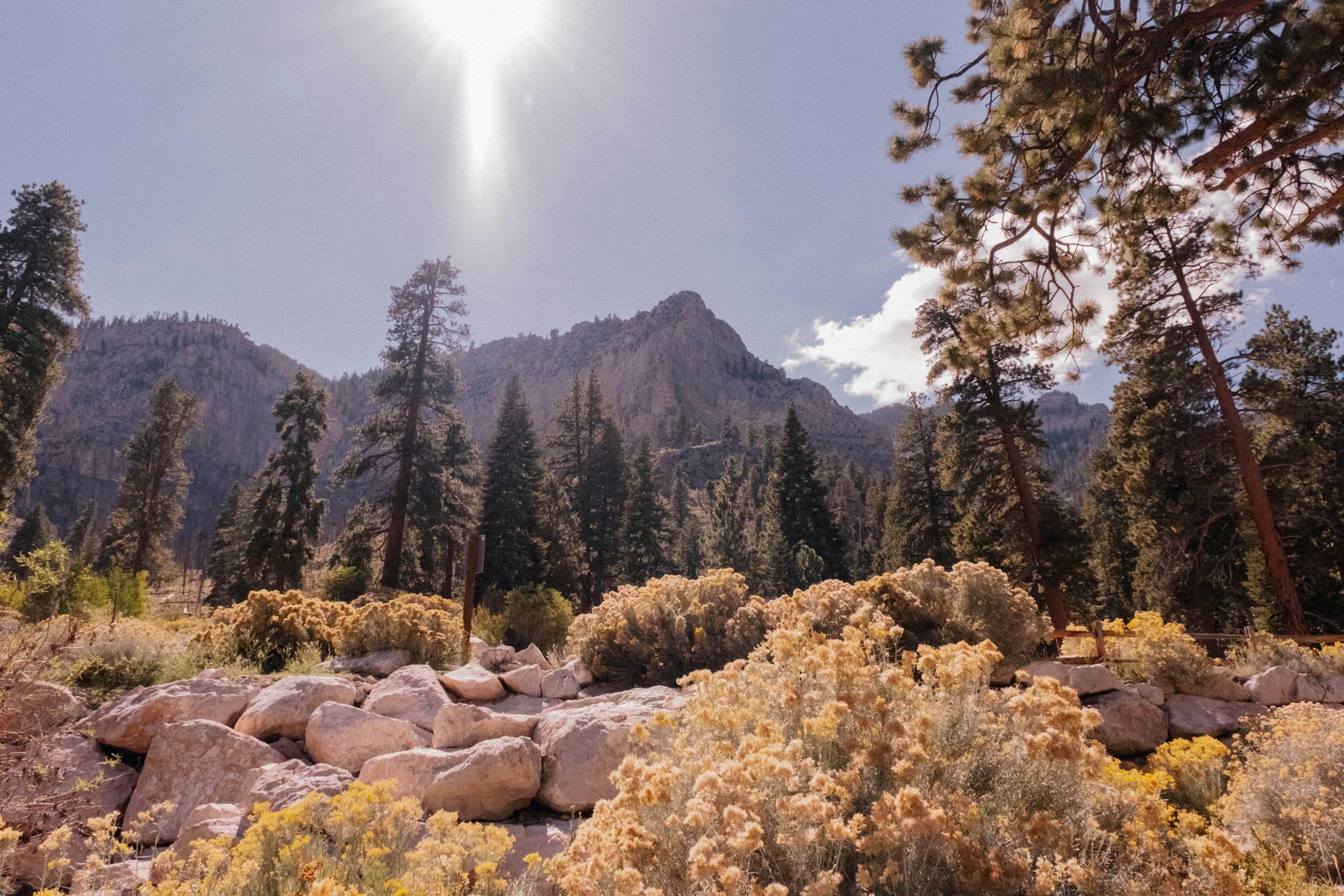
Its stunning natural beauty and diverse outdoor recreational opportunities make Mount Charleston such a great place to live, visit, and explore. That is why the Mount Charleston Fire & Rescue department is dedicated to enhancing the area's safety and emergency response capabilities, ensuring residents and visitors can enjoy the surroundings with peace of mind. Whether you call Mount Charleston home or you’re just visiting for the day, here is some helpful information to make your stay even better.
WEATHER ON MOUNT CHARLESTON
The weather on Mount Charleston can be drastically different from that in the Las Vegas Valley. Check out this weather page for tools, tips, and webcams to monitor conditions and forecasts before you go.
Remember that high winds and dry conditions can create devastating fire conditions!
CURRENT FIRE RESTRICTIONS
FOR MOUNT CHARLESTON
Before you start exploring the beauty of Mount Charleston, make sure you check current restrictions and closures. Follow the link on the announcements below. It could save your life!
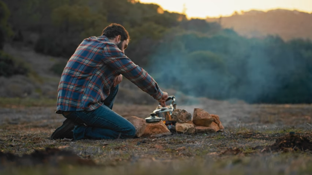
CAMPING INFO
There are many options for picnic and camping locations throughout Mount Charleston. Before enjoying the great outdoors, check out the announcements below for a look at everything you need to know.


Public Safety Power Outages (PSOM)
Mount Charleston is located within an NV Energy-designated Extreme Fire Risk Zone. During periods of elevated wildfire danger, NV Energy may temporarily shut off power through its Public Safety Outage Management (PSOM) program to reduce the risk of power lines or electrical equipment causing a wildfire.
These preventative outages may occur during periods of high winds or other adverse weather. Power may remain off until weather conditions improve and utility crews can safely inspect electrical equipment before restoration.
Residents are encouraged to stay informed through NV Energy outage alerts and maintain basic emergency preparedness supplies during wildfire season.
ISO’s PUBLIC PROTECTION CLASSIFICATION PROGRAM (PPC)
An ISO fire rating is a score provided to fire departments and insurance companies by the Insurance Services Office (ISO). The score reflects how prepared a community and area is for fires. While it mainly focuses on the local fire departments and water supply, there are other factors that contribute to an area’s score.
An ISO score has the power to affect the insurance premium of every homeowner in the area and may even cause an insurer to deny you coverage in some circumstances. In fact, most US insurers—including the largest ones—use PPC information to make decisions about what business to write, coverage to offer, or prices to charge for personal or commercial property insurance.
The district's current classification is 04/4X, effective 01/2022. Insurance companies use this classification to set property rates.
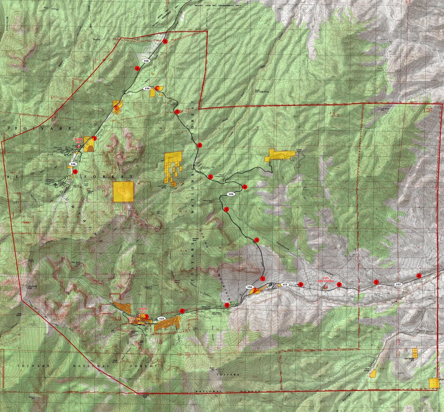
MOUNT CHARLESTON FIRE & RESCUE BOUNDARIES
The MCFR is responsible for private land within the Mount Charleston District, which is illustrated in yellow on the map.

Keeping your community safe